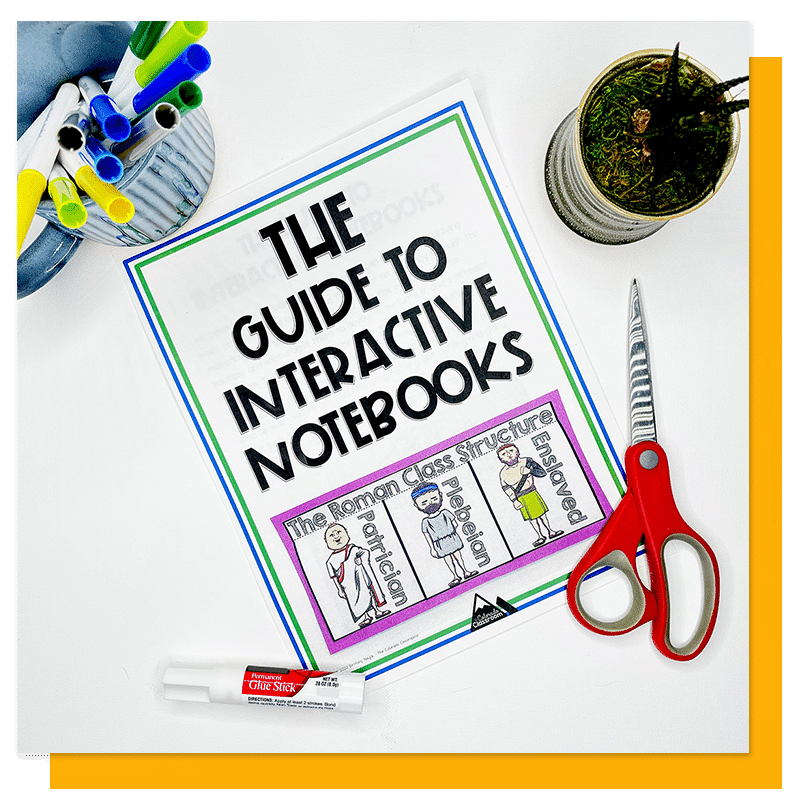
Free Interactive Notebook Guide
Sign up to receive great emails from me, all packed with ideas, resources, tips, notice of giveaways, sales, product information, and more. To make sure you receive the email, add my email address: br******@******************om.com to your address book.
Latest From the Blog
Targeted advice, stories, and more

The Benefits of Using a Social Studies Curriculum

Why You Should Teach the Geography of Ancient Civilizations First
Teaching River Civilizations: Your Step by Step Guide

The Benefits of Using Pre and Post Tests When Teaching Ancient Civilizations
9 Back to School Must Haves for Teachers
Hi, I'm Brittany!
I taught for 17 years – 17 years!!! – all of them in 6th grade. I think I know 12 year old students pretty well.
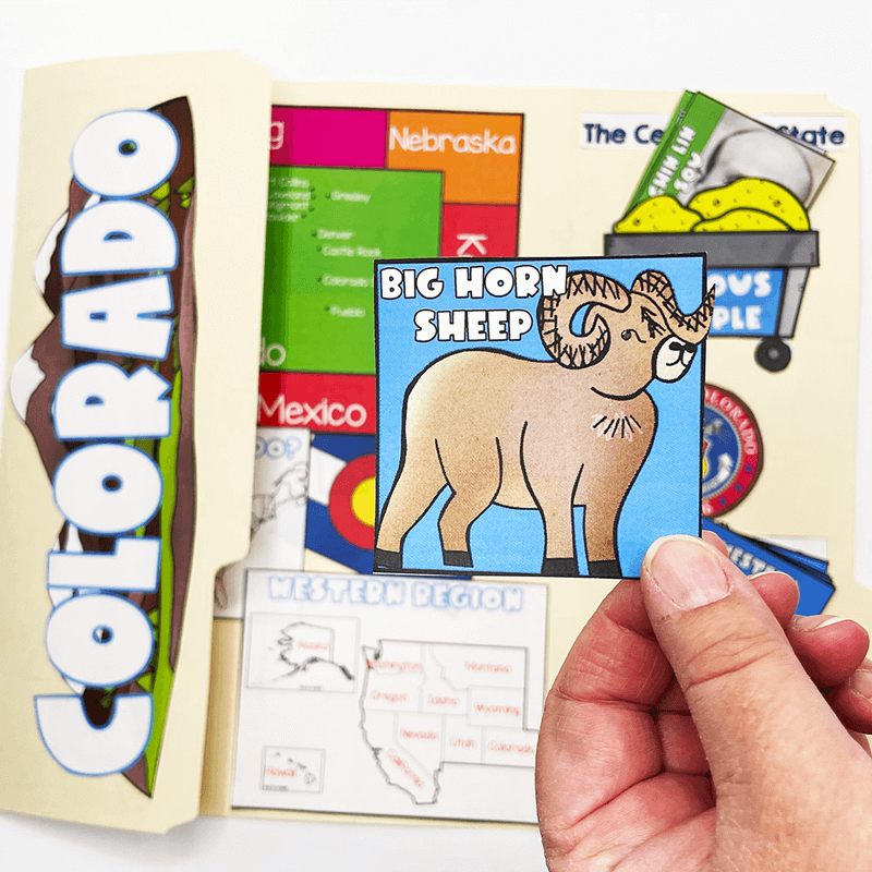
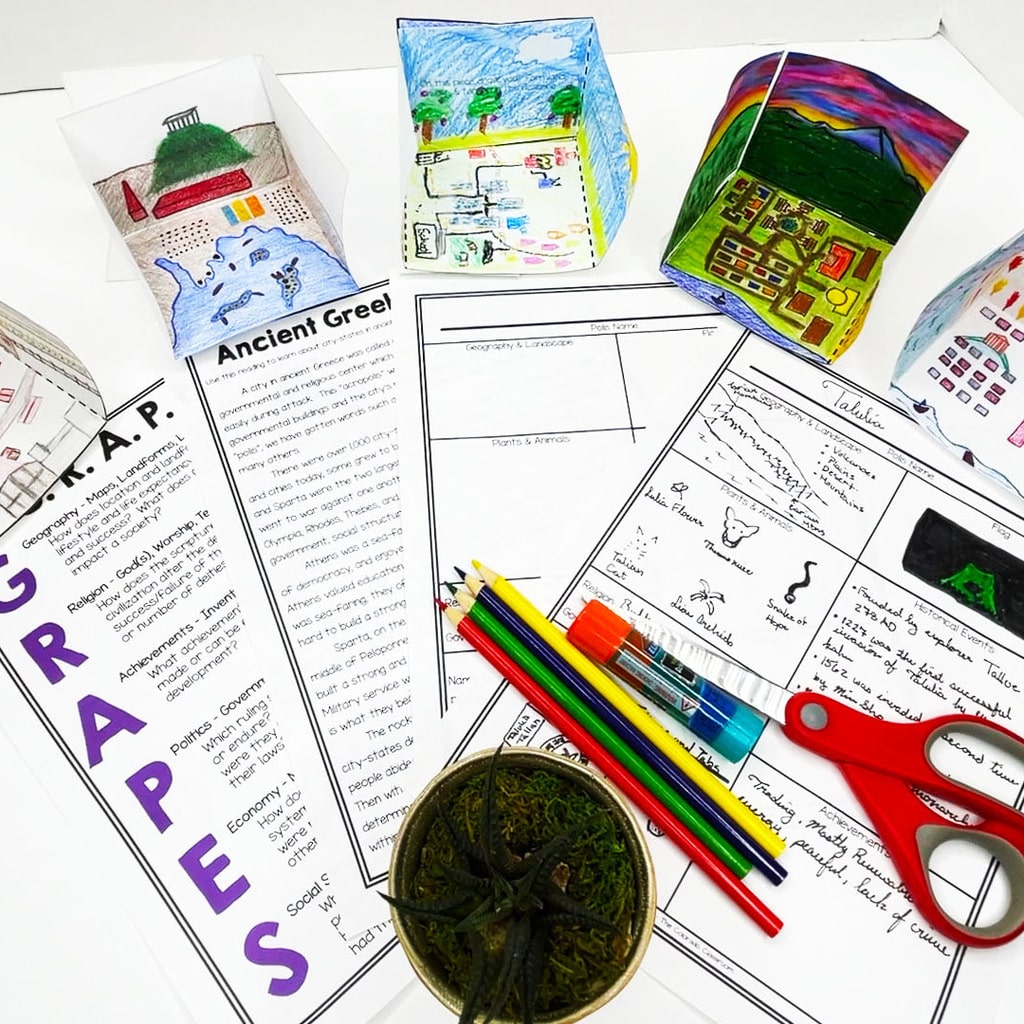
During my time in the classroom, I loved history, geography, and math most of all, but I’ve taught every subject under the sun. I love to make things hands-on and thus I often incorporate interactive notebook techniques to a lot of what I do.

