Master U.S. Geography with our Comprehensive States and Capitals Resources
Are your students struggling to learn the 50 states and capitals effectively?


Do your students get overwhelmed by all the information they have to learn? States – Capitals – Shapes – Placement. It’s just all so much!
Are your students confused when learning the state names and shapes? Do they all just look the same?
Do you find it challenging and time consuming to find resources for your students that make learning all 50 states dynamic and exciting?
You can break states into regions but then this district wants you teach 5 regions. This standard expects you to teach 7. Your school wants you to go with four. And the only material you have is for 6 regions. You just can’t win!
Students in the Mid-West tend to be confused by all the states in the Northeast, while most of the U.S. doesn’t get how you tell all those squares and rectangles apart. It’s a wonder anyone knows where anyone lives!
With lists upon lists and map after map to color and label, it all just gets a bit monotonous. And is any of it helping students learn and retain anything?
If this is sounding like your students, and
- They have no clue where Vermont and New Hampshire belong
- They don’t know there are two different Washingtons
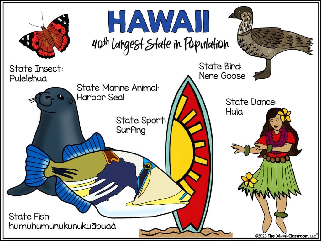
- Many think Hawaii is a country, not a state
This bundle can't come soon enough!
Say Goodbye to the Challenges, Frustrations, and Limitations of Teaching the 50 States and Capitals to Your Students
I Present to you a Game-Changing Solution to Revolutionize Your U.S. Geography Instruction
Everything You Need to Teach States and Capitals Resources in a Fun, Hands-On, Creative, Dynamic, and Beautiful Way!
- Regional Quizzes based on 4, 5, 6, or 7 Regions of the United States
- Tests of the Entire United States
- A Slideshow of States w/ State Symbols & Mini-Books to Complete
- A Slideshow that shows the States as They Joined the Nation
- Task Cards based on 4, 5, 6, and 7 Regions
- Flash Cards based on 4, 5, 6, and 7 Regions
- States and Abbreviations Card Sort
- State Name and Outline Shape Game
- State, Capital, & Region Quiz Game
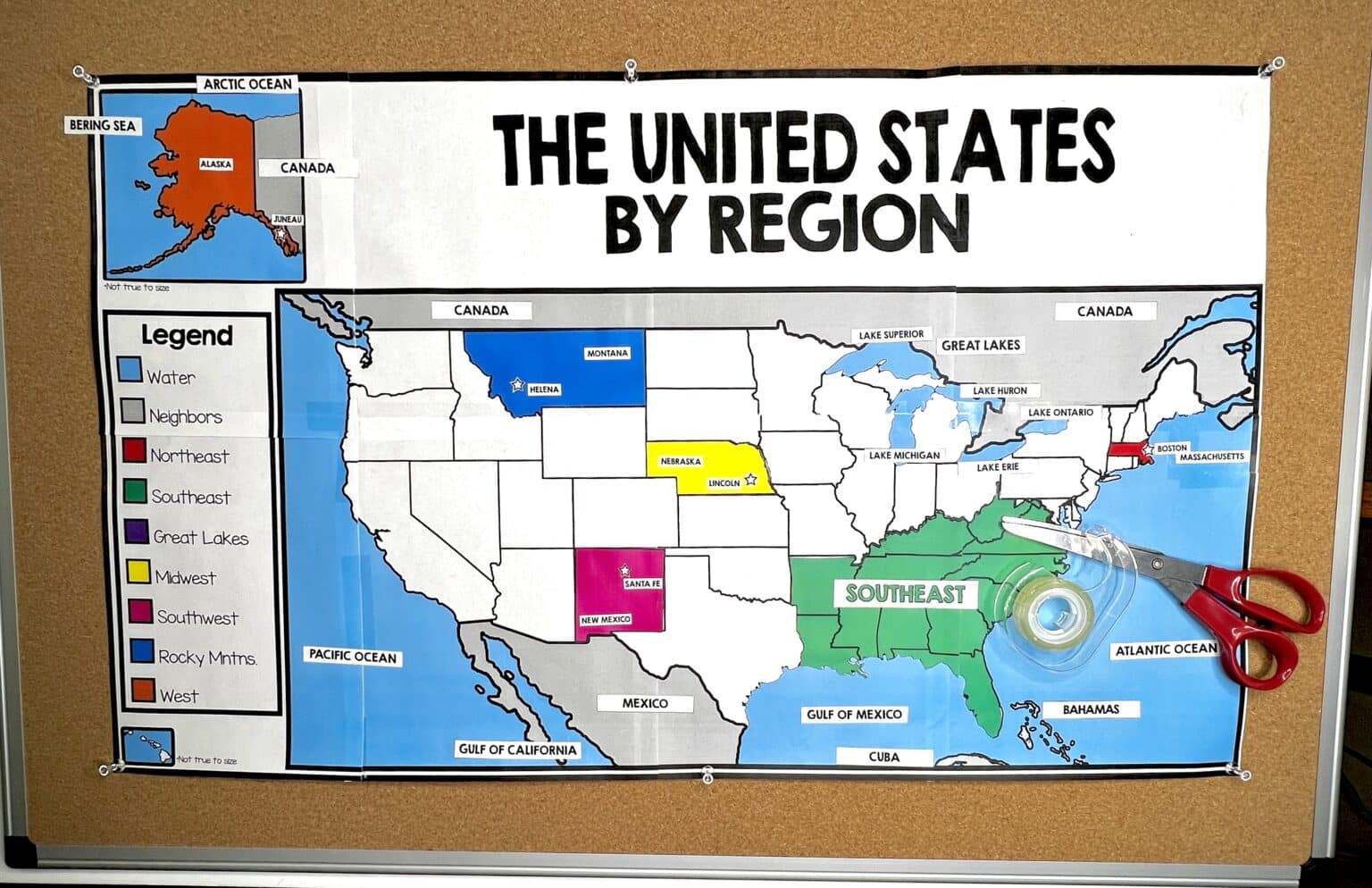
- Interactive Wall Map
Then Sit Back and Reap The Benefits of a Wise Decision
Purchase it once and have all the regional variations you should ever need.
No lack of materials for your planning and centers.
Free upgrades for the life of the resource.
Differentiate for students with 7 different map variations per region, or progress your students through all seven to make sure they are ready for the tests.
Teach states, capitals, location, abbreviations, symbols, flags, induction, order, and more with comprehensive resources.
Differentiated & Regionally Varied Material
Start with
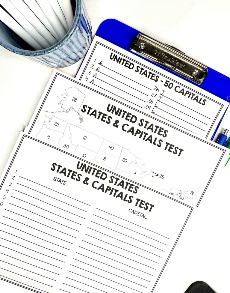
- Label the states
- Label the states and capitals
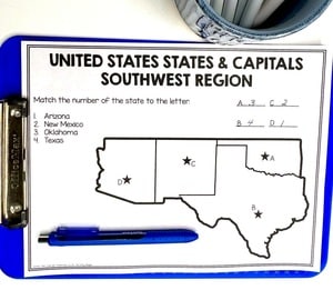
- Match states to a letter on the map
- Match capitals to a letter on the map
- Identify states and capitals by the letter
- Identify states and capitals by a number
- Fill in the state and capital on the blank line
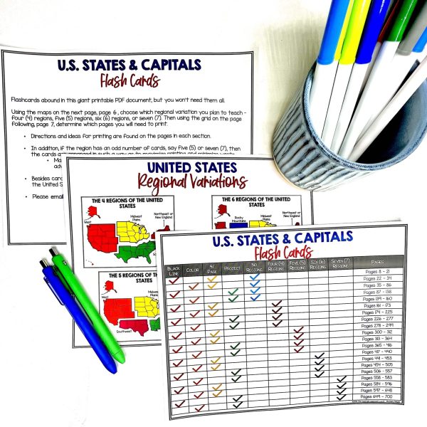
Teacher Instructions & Tables of Information Lead You to just the States and Capitals Resources
You Want
6
DIFFERENT 50 STATE TESTS LET YOU DIFFERENTIATE IN YOUR CLASSROOM WITH EASE
So Many Resources, With So Many Parts, We Just Can't Cover Them All
- Task Cards for every region and regional variation (4, 5, 6, or 7 Regions)
- State Symbols Slideshow with Mini-Books for Every State
- Memory Games
- Quiz Game
- Race to a Nation Slideshow show your students how states were added to the Union
- State Abbreviation Card Sort
- Flash Cards for every region and regional variation (4, 5, 6, or 7 Regions)
- Differentiated Maps for Practice
- Regional and Full Country Maps for Testing (4, 5, 6, or 7 Regions)
- Black and White and Full Color options where applicable
- All Answer Keys
With engaging activities, interactive games, and hands-on exercises with a state outline focus, your students are bound to have a deeper understanding of our geography as a nation. Plus, they'll have fun while doing it!
Hear what others are saying!
"The maps are absolutely beautiful, and I love the interactive notebook section."
- Carolyn C.
"As a history nerd, I really like the Race to a Nation slides and actually "seeing" the growth of our country. So valuable for those visual kiddos. I also like how you give ideas as to how to use the resources too. I like the variety that is available for all the different types of learning. There's lots of good fun stuff in here!"
- Jill C.
"This allowed me to test my students based on their ability and see what they know. I love it!"
- Elizabeth B.
$41
14
RESOURCES
& COUNTING
GET YOURS BEFORE PRICES RISE WITH THE NEXT ADDITION!
© The Colorado Classroom, LLC®

