Colorado Geography Unit – Colorado State History
Explore the geography of Colorado with maps (political, physical, thematic, economic, military, & more) and discover this western state. Scroll down for more!
$5.50
Do you want to teach your students about the geography of Colorado? Its neighbors? The four corners? The cities, rivers, mountains, and more?
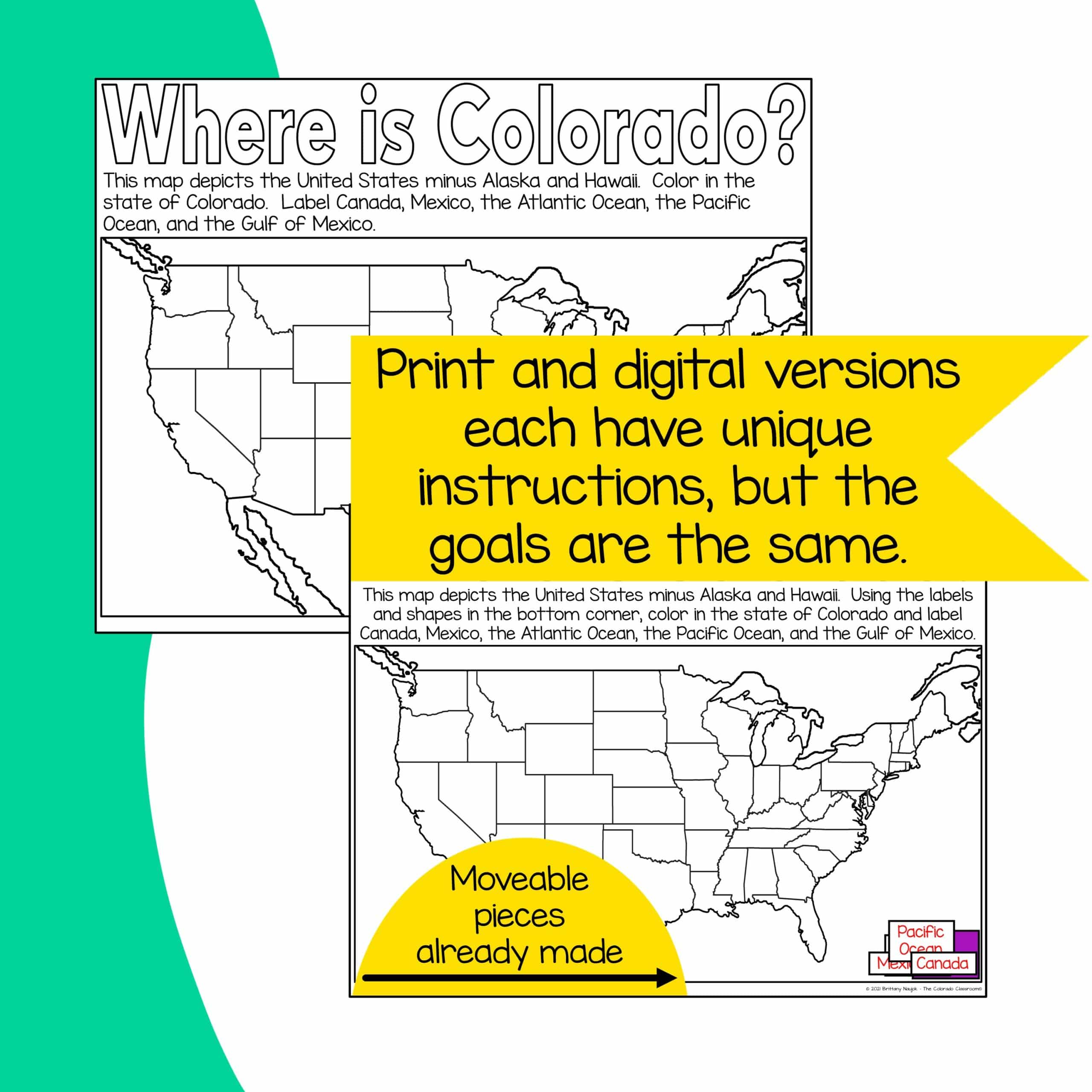
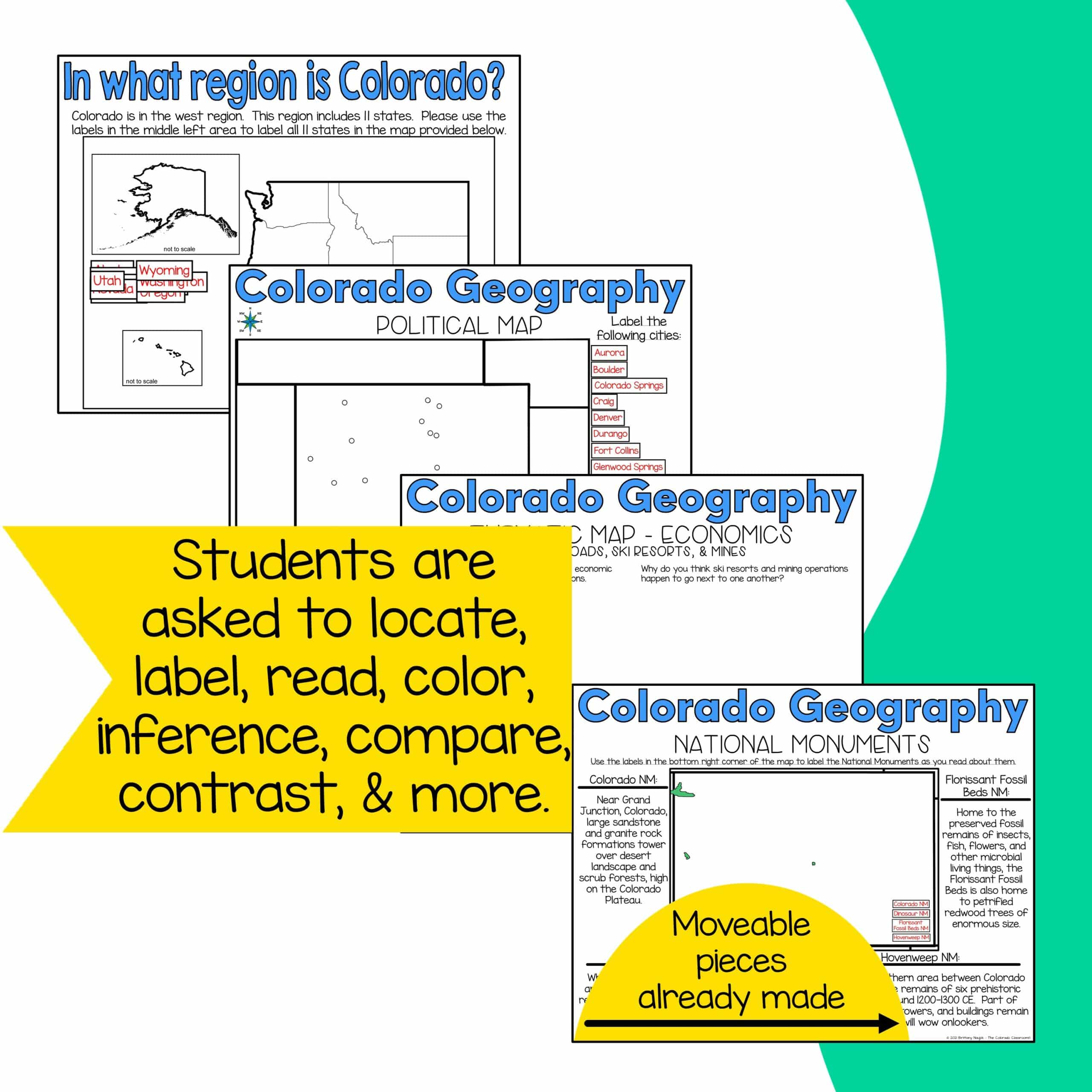
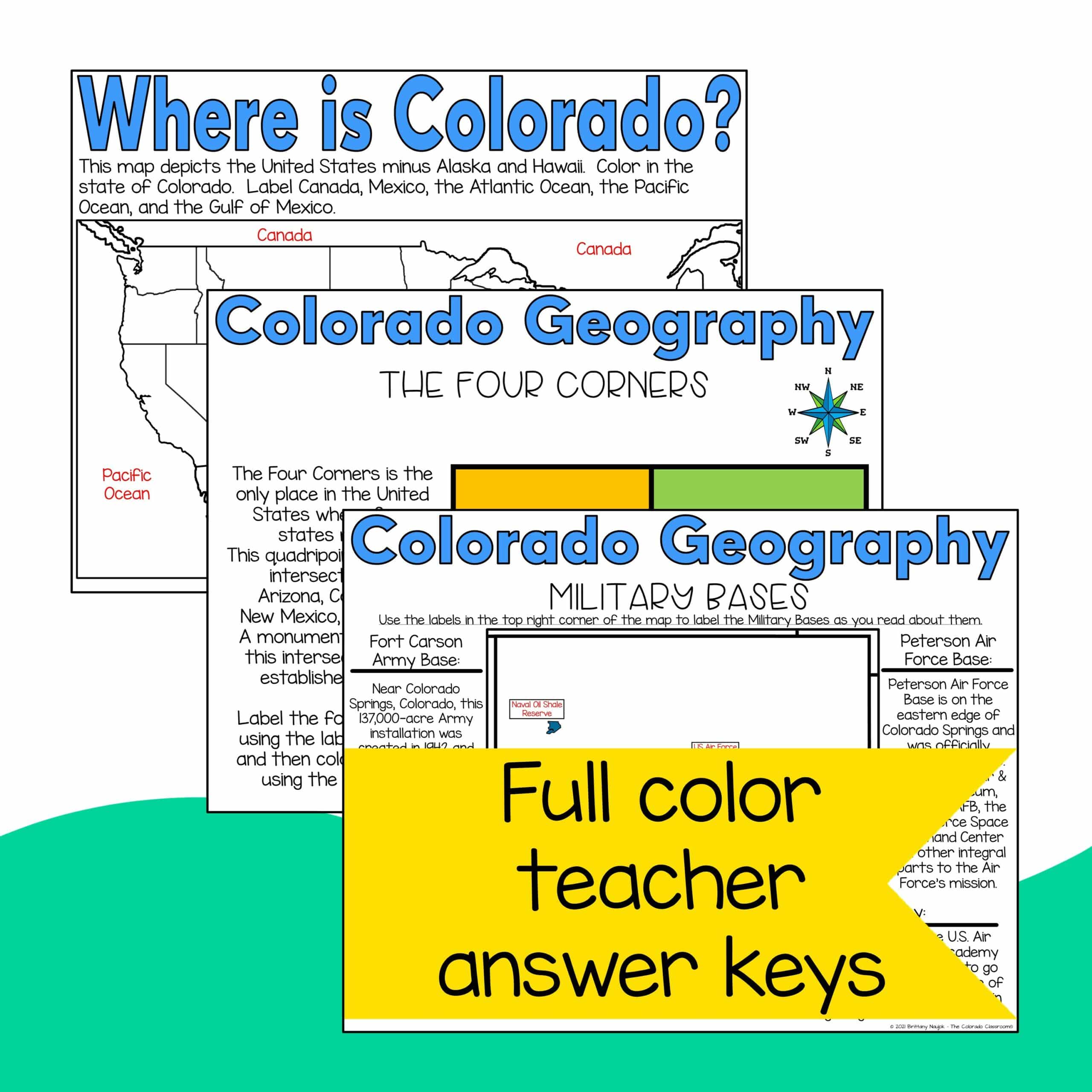
This hybrid, paper and DIGITAL unit, covers Colorado’s location in the United States, its placement in the western region, and the location of the four corners. It then drills down to the state level and looks at multiple political, physical, and thematic maps and asks students to locate, label, color, read, inference, compare, contrast, give opinions, and more.
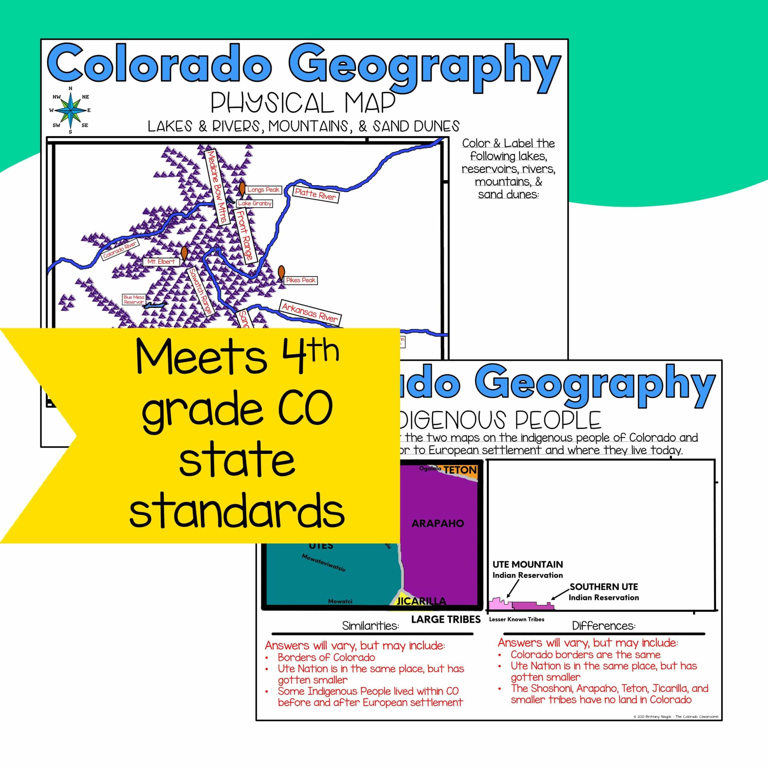
This lesson meets the 4th grade state standards for Colorado Geography and some of those listed for 3rd grade.
This Colorado Geography Unit Includes:
- Teacher Notes
- Location of Colorado in the USA
- Location of Colorado in the Western Region
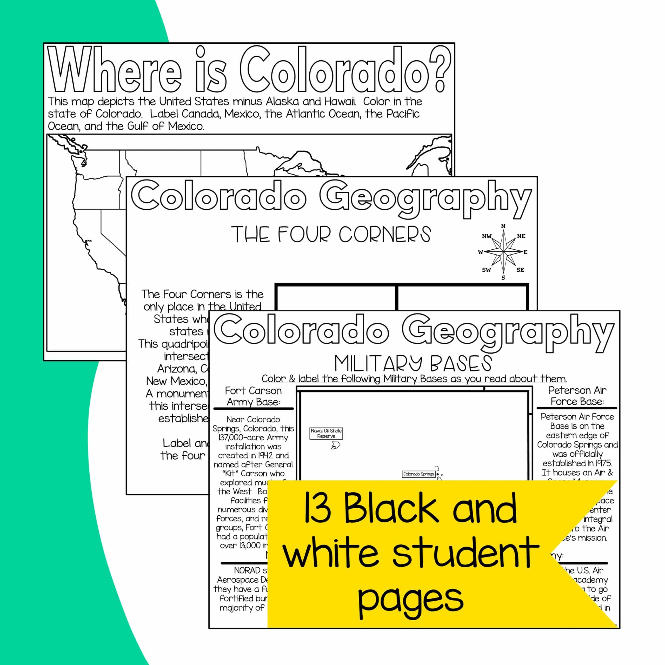
- Four Corners
- Political Map of Colorado
- Physical Map of Colorado
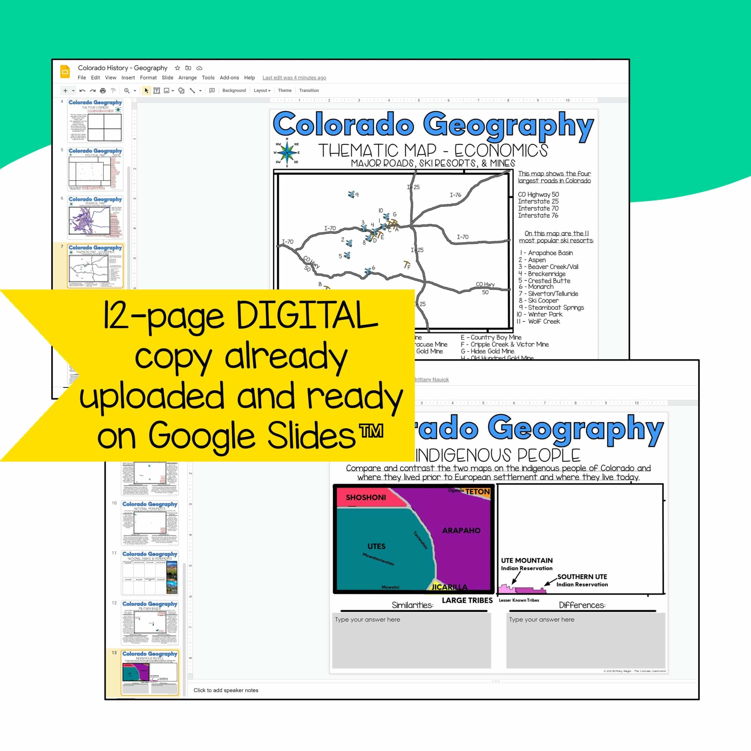
- Thematic Map on Economics
- Questions on Economic Map
- National Park Map
- National Monument Map
- National Park & Monument Picture Activity
- Military Base Map
- Indigenous People Map
- Everything above in Black and White (student copies/PDF form)
- Everything above in a Full Color option (PDF form)
- Everything above in Full Color Answer Keys (PDF form)
- Everything above already prepared in Google Slides™
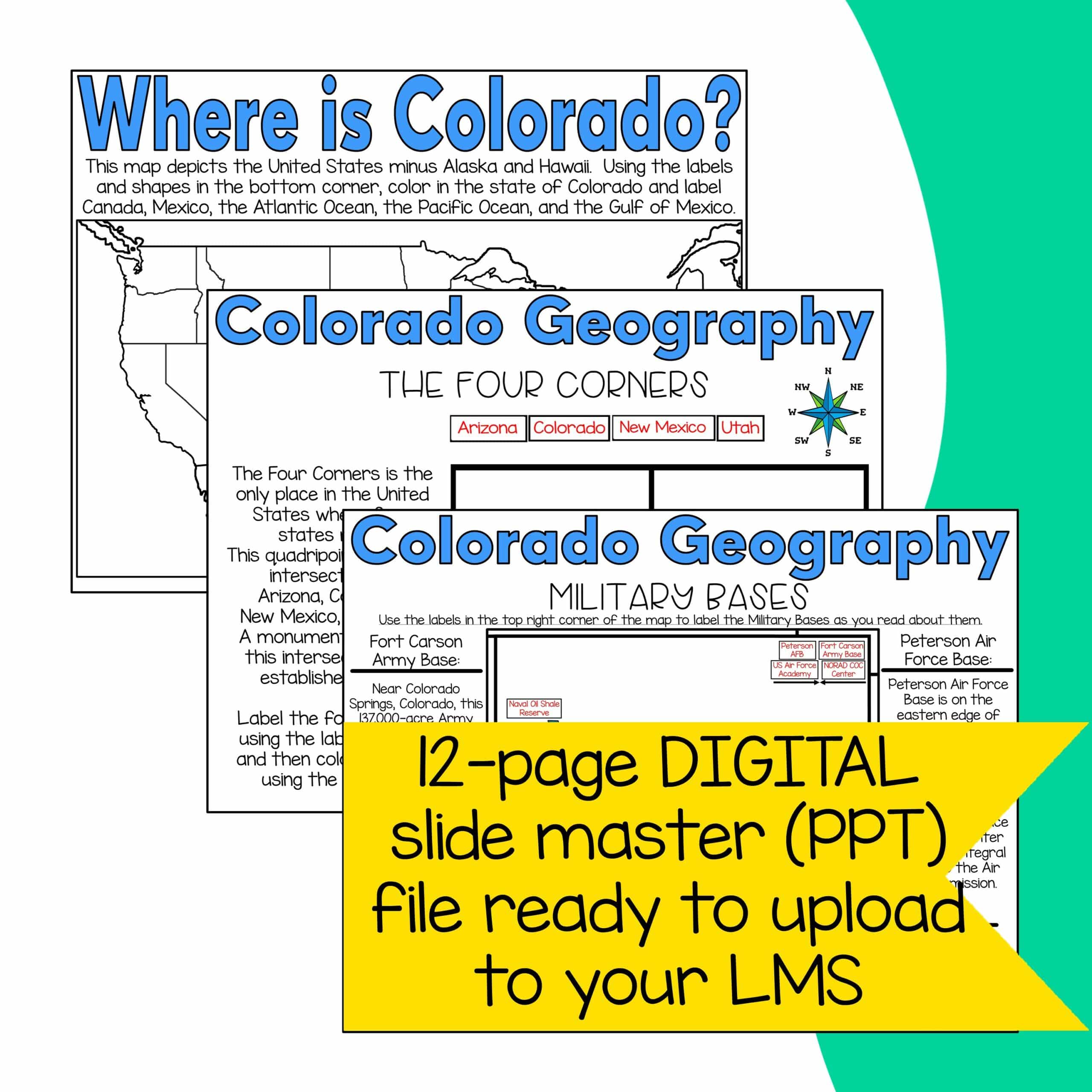
- Everything above in a semi-flattened slide master in case you use Microsoft Teams or something else as your LMS (PPT form)
- A 5-page guide on how to use Google Classroom
- Total: 48 Printable PDF Pages, 12 PPT Pages, 12 Digital Pages
You will receive a zip file, in which you will receive 2 PDF files, 1 PPT file, and a link to the Google Drive™ file. Please make sure you are able to download and extract files prior to purchasing this unit. Thank you!
You may also like:
Colorado State History Lap Book
©The Colorado Classroom
All rights reserved by the author
Permission for single classroom use only
Only logged in customers who have purchased this product may leave a review.






Reviews
There are no reviews yet.