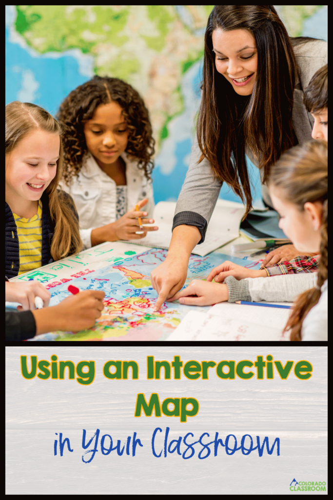
Interactive Maps: Bring U.S. Geography to Life in the Classroom
In many of our classrooms, we have pull-down maps on the wall. Let’s be honest about how they rarely see much action. Maybe they get used a few times a year, but they mostly collect dust. I bet most of our students may not even realize those are maps when they’re rolled up. I’m excited today to share how to use my United States interactive map. It’s a tool that your students will actually use, explore, and connect with every single day. As you introduce new states, cities, or bodies of water, the map grows with your lessons. It’s hands-on, engaging, and a fresh way to bring geography to life for your students.
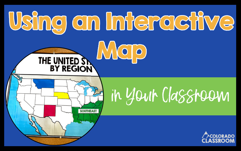
Benefits of Interactive Learning
Interactive learning is a total game-changer for the classroom. When our students get hands-on with their learning, they’re instantly more engaged and excited about the material. It’s so much more impactful to have our students label states on an interactive map or piece together regions than to simply memorize them from a book. That level of involvement helps spark curiosity and makes the learning process feel meaningful.
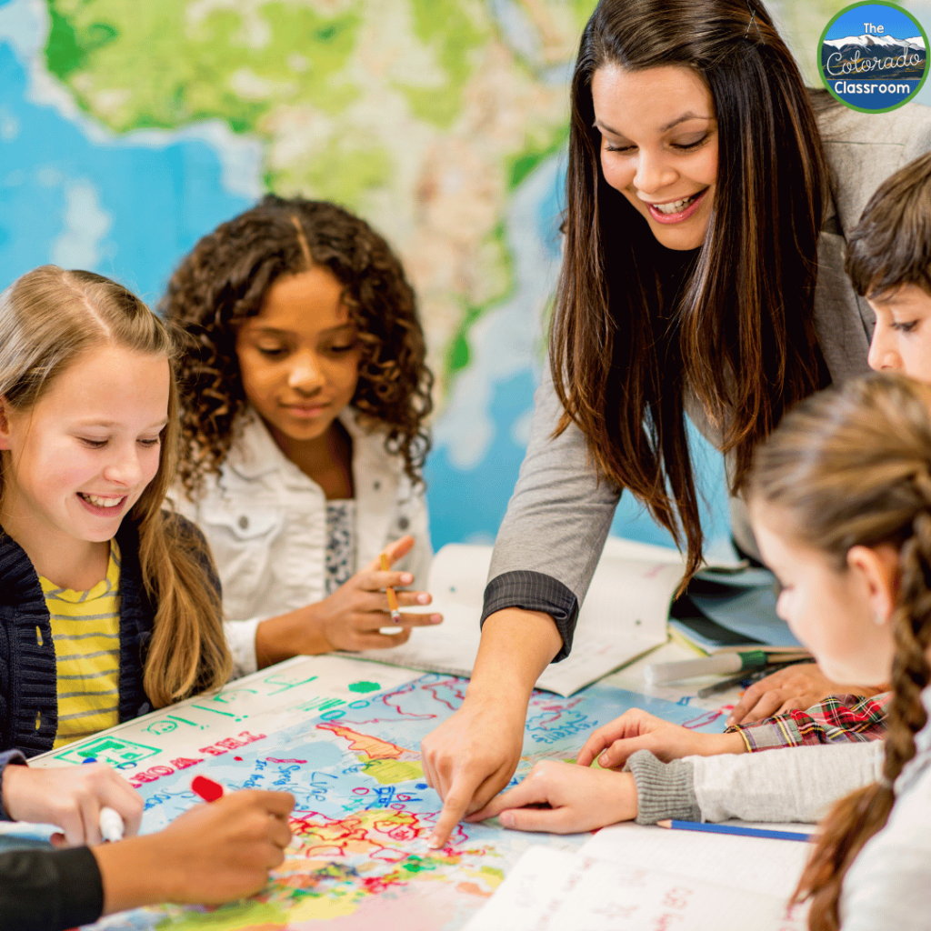
One of the biggest perks of interactive learning is how much it helps with retention. When our students take part in building their understanding, like constructing a classroom map or labeling key features, they make stronger connections with the material. These connections don’t just help in the moment. They stick long-term, making the lessons unforgettable.
It’s also a fantastic way to encourage critical thinking. Working with an interactive map, for example, gets our students to analyze relationships, spot patterns, and think through how different regions connect. These aren’t just geography skills. They’re life skills that build confidence and independence.
Using resources like an interactive map doesn’t just make lessons more fun; it builds a classroom environment where students feel involved and excited to learn. Honestly, there’s nothing better than watching students light up when they discover something new and feel proud of their work!
Why Do I Need An Interactive Map?
Keeping our students engaged can be a challenge, especially when it comes to geography. That’s where an interactive map makes all the difference. Unlike a static classroom map that’s only good for the occasional glance, this map gets your students involved. They’re not just looking at geography. They’re interacting with it, labeling states, identifying bodies of water, and exploring regions in a way that sticks.
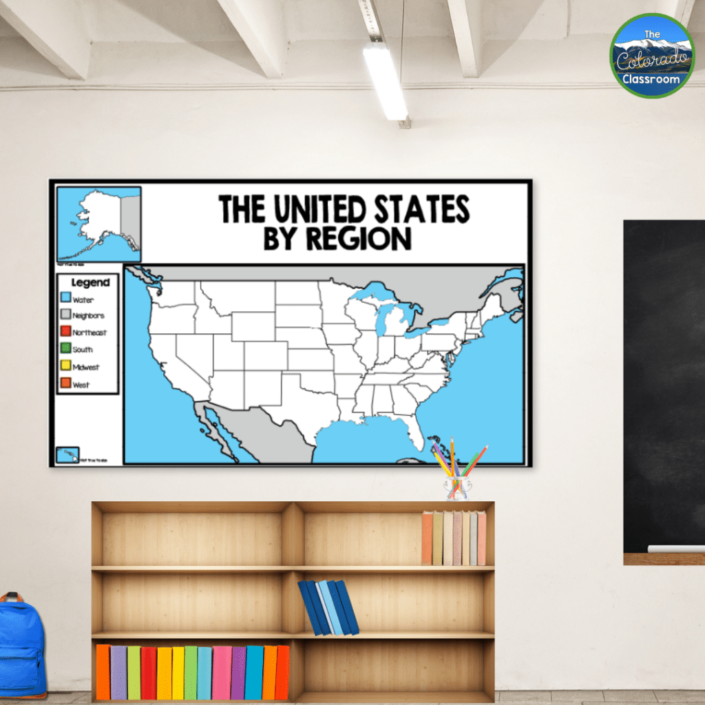
An interactive map also grows with your lessons. As you cover new topics, your map becomes a visual timeline of your students’ learning. Whether you’re diving into state capitals or uncovering regional landmarks, this map makes it easy to bring those concepts to life. Plus, the hands-on aspect keeps your students excited and invested.
Having this kind of resource in your classroom means you’re helping your students build connections, see the bigger picture, and truly understand the world around them. It’s more than a map because it’s a classroom tool that inspires exploration.
How Do I Use An Interactive Map?
My interactive map is designed to bring your geography lessons to life. I created them to offer plenty of flexibility to fit your teaching style. Whether you want a large classroom map or smaller, student-sized versions, you’re in control. Depending on your preference, the map can be printed in black and white or in color. Personally, I loved starting with a black-and-white map. As we learned about each state, city, region, or body of water, we added the colored version on top and labeled it together. Watching the map evolve over time was a rewarding experience for both me and my students!
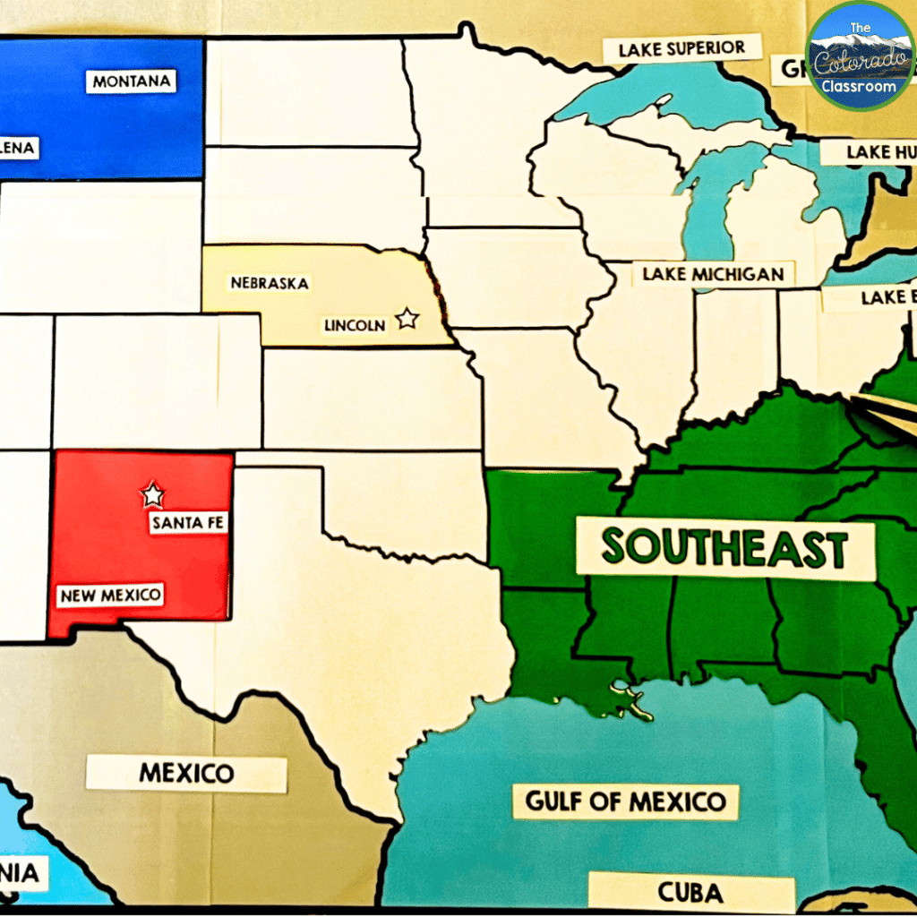
Another fantastic option is to print the map in color and let your students take the lead. Assign each of your students a state, region, or geographical feature, and have them research it. After their presentations, they can label their assigned area on the map. It’s a wonderful way to encourage ownership and keep all of your students engaged.
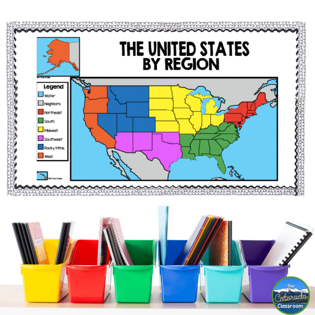
I made sure to include detailed instructions inside this resource to make it even easier for you to get started. I walk you through multiple ways to use the map and feature picture examples for inspiration. With options for 4, 5, 6, or 7 region maps of the United States, you can tailor the activity to match your lessons. Plus, the provided labels, which are available in three different sizes, cover states, cities, regions, and bodies of water. This gives you plenty of ways to make this map your own.
This classroom map is more than just a learning tool. It’s an evolving project that grows with your lessons. Whether displayed on the wall or tucked into student binders, this interactive map helps make geography accessible, engaging, and hands-on for each of your learners.
How to Prepare Your Interactive Map
A little prep work goes a long way to make the most of this interactive map. Laminating the pieces makes them much more durable so you can plan to reuse the pieces year after year. Laminated pieces hold up better and make it easy to write on with dry-erase markers if you want to add temporary notes or labels.
For assembly, I recommend using Velcro dots or removable tape. This way, you and your students can easily add or rearrange pieces as you explore different states, regions, and geographical features throughout the year. Velcro also helps keep everything in place while still being easy to move around.
This prep step keeps your map looking great and makes it a breeze to interact with daily. Whether you’re building the map bit by bit or assigning students to label specific areas, the durability and flexibility of the pieces will make your lessons even more impactful!
Additional Resources
One of my favorite things about teaching is finding creative ways to make lessons interactive. Our students thrive when they’re actively involved in their learning, whether it’s through hands-on activities, collaborative projects, or building something together like our interactive map. The great thing is that there are so many ways to bring this approach into the classroom!
Interactive tools like classroom maps are just the beginning. Activities that involve exploring landforms or diving into interactive notebooks open the door to even more engaging learning experiences. These strategies make lessons fun but also help our students build connections and retain information in a meaningful way. Make sure to explore some of these resources below!
- Colorado Landforms Unit – Interactive Material with Geography in Mind
- Starting Interactive Notebooks with Success in Mind
- The Triumph of Interactive Notebooks: Philosophy and Benefits
Increase Engagement With Interactive Maps
An interactive map is a tool that can transform how our students learn. Whether you’re building a wall-sized map piece by piece or letting your students take charge on their own, the possibilities are endless. It’s a fun, engaging way to explore geography while boosting critical thinking, retention, and excitement in your classroom. I’ve loved seeing how much my students connect with the process, and I know your students will, too. Give your lessons a boost! Start exploring with an interactive map, and watch your engagement levels increase!
Save for Later
Remember to save this post to your favorite geography Pinterest board for quick access to this interactive map resource!
