
Your Guide to Teaching 6th Grade for the First Time
Picture yourself sitting in a staff meeting near the end of the school year when your principal makes an announcement. Next year, you will be

Picture yourself sitting in a staff meeting near the end of the school year when your principal makes an announcement. Next year, you will be
When you start teaching about ancient civilizations, it is not unusual to see your students’ eyes glaze over when lessons focus only on timelines, rulers,
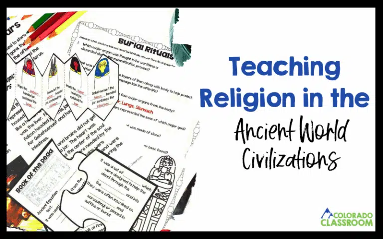
Religion is one of those topics that immediately pulls our students in while teaching ancient civilizations. They’re curious about gods, rituals, rules, and stories. They’re

You’re in the middle of your ancient civilizations unit, and everything seems to be going well… until you ask a simple question like, “Did ancient

Have you ever looked up to find your planning time quickly slipping away, while you are 12 tabs deep into Google, Pinterest and TPT trying
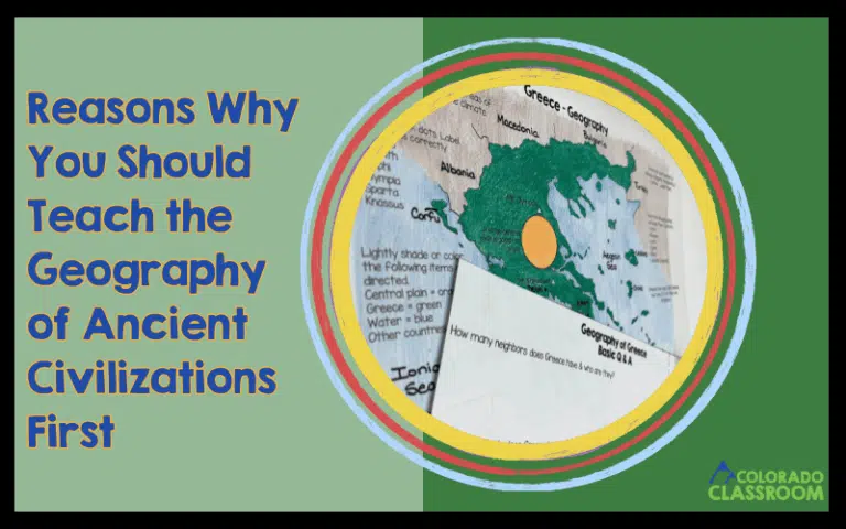
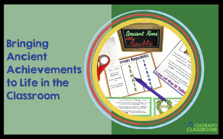
When diving into a new ancient civilization, it can be tempting to jump straight to kings, inventions, and famous battles. I’ve found that starting with
Teaching ancient civilizations is one of my favorite parts of the school year. There’s something about diving into the mysteries of pyramids, ancient scripts, and

Teaching ancient civilizations in middle school is such an exciting journey. You get to transport your students across time. They get to walk through the
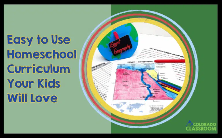
Finding the right homeschool curriculum can feel overwhelming, but it doesn’t have to be! I know how important it is for homeschooling families to have
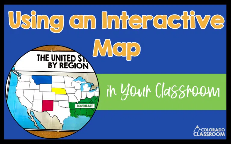
In many of our classrooms, we have pull-down maps on the wall. Let’s be honest about how they rarely see much action. Maybe they get

Teaching geography can sometimes feel a little dry. Not just for our students but even for us as teachers! When we take the time to

I’ve always been fascinated with state symbols! Growing up, I loved discovering there’s a symbol for just about everything. Trees, flowers, birds, you name it.