Why You Should Teach the Geography of Ancient Civilizations First
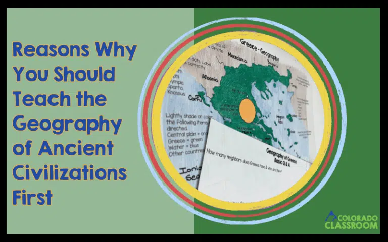
When diving into a new ancient civilization, it can be tempting to jump straight to kings, inventions, and famous battles. I’ve found that starting with

When diving into a new ancient civilization, it can be tempting to jump straight to kings, inventions, and famous battles. I’ve found that starting with
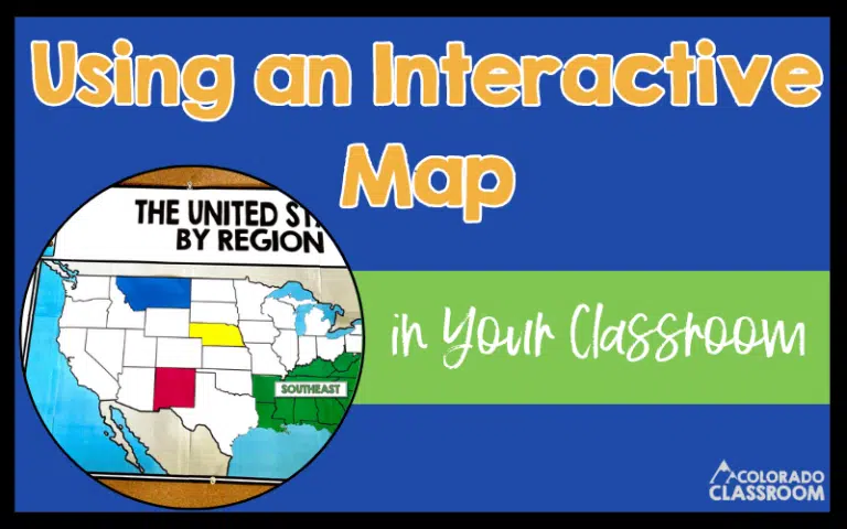
In many of our classrooms, we have pull-down maps on the wall. Let’s be honest about how they rarely see much action. Maybe they get
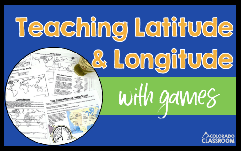
I always get a kick out of teaching latitude and longitude! It feels like we’re embarking on a treasure hunt every time we use coordinates
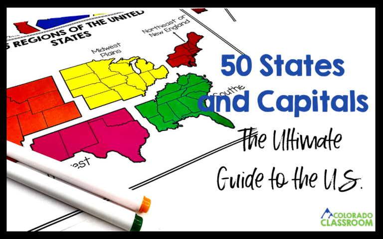
We all have that one unit that might not light up our excitement radar when we open our curriculum maps to see what’s next. The
If you’ve ever tried teaching basic map skills to 6th graders, you know it can be a bit like navigating uncharted territory. Those directions, scales,